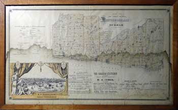
MAP OF THE UNITED COUNTIES OF NORTHUMBERLAND AND DURHAM
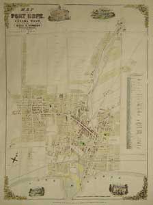
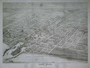
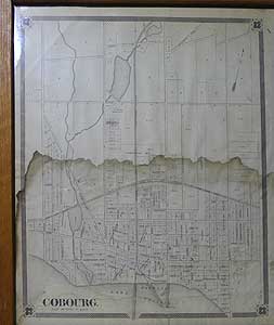
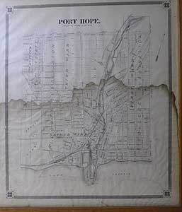
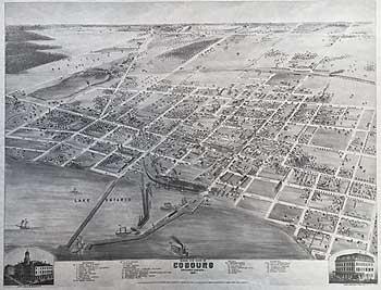
Verso PORT HOPE / COBOURG
Inset VIEW OF THE CITY OF TORONTO
STATISTICS OF THE COUNTY
ADVERTIZEMENTS
Original antique map, Double glazed, oakwood frame. shows patina of age and damp tide mark. SIZE: overall map 19 x 33 7/8 “ verso 19 x 16” Frame 23 x 37 1/4”
LRA m1368 >GNN PRICE CODE C
This now scarce map was published in 1879 by Frederic B. Miles in his "The New Topographical Atlas of the Province of Ontario, Canada:" 1879. Published by Miles & Co, Toronto. Important separate county map on a large scale showing lots and concessions, railways, post offices, opened and closed roads, churches, school-houses, main travelled roads, county statistics, division court boundaries, &c. With maps of the chief cities and county towns,
VERSO


